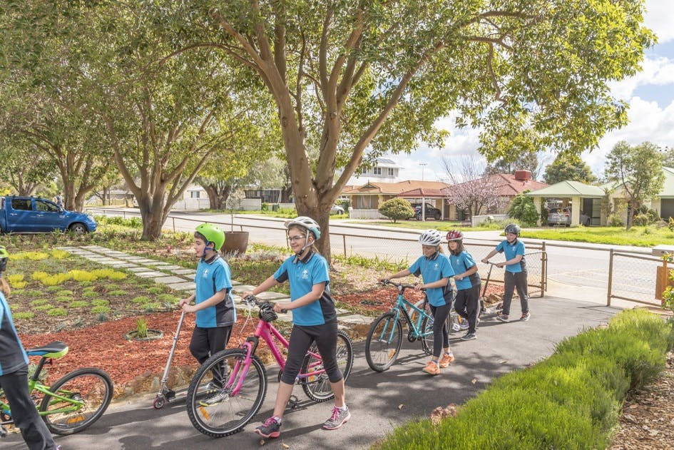
The City of Canning needs your help to create a safer walking and bike-friendly environment around Bannister Creek Primary School.
Bannister Creek Primary School Safe Routes Collaborative Map
We've identified 5 safe routes to this school, but first, we need your feedback. Use the map below to let us know if we are on the right path, identify hazards or missing infrastructure and suggest a new safe route to school.
The ‘Safe Active Travel to School’ project aims to improve safety for our most vulnerable road users and increase walking, cycling and scooting to school as it is well recognised that this helps keep our kids healthy and happy.
By identifying and providing way finding signage and pathway improvements to 5-6 safe routes to your school, we believe it will help parents and students walk, cycle and scoot to school more often.
Survey
Fill out the survey below to help us understand how residents perceive street amenity and safety, current usage of active travel for local trips, awareness of local active transport networks and and attitudes towards children riding and walking to school.
Safe Routes to Bannister Creek Primary School is currently at this stage
This consultation is open for contributions.
Under Review
this is an upcoming stage for Safe Routes to Bannister Creek Primary School
Contributions to this consultation are closed for evaluation and review. The Project team will collate the findings into the report.
Final report
this is an upcoming stage for Safe Routes to Bannister Creek Primary School
The final outcomes of the consultation are documented here. This may include a summary of all contributions collected as well as recommendations for future action. The report will be sent to the City of Canning for implementation.